
Transforming Land & Agriculture
Through Innovation
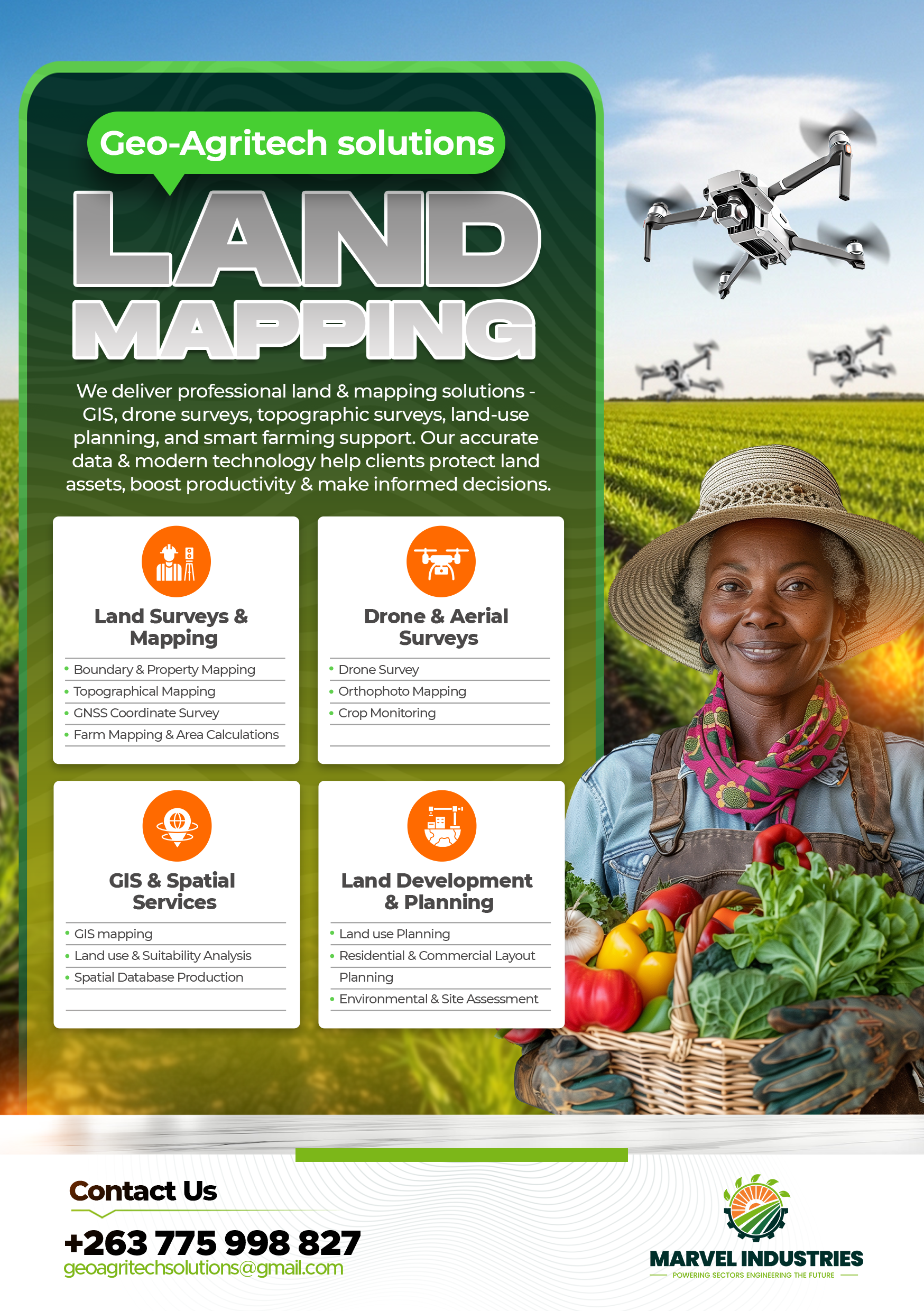
We deliver professional land & mapping solutions — GIS, drone surveys, topographic surveys, land-use planning, borehole drilling, and smart farming support. Our accurate data & modern technology help clients protect land assets, boost productivity & make informed decisions.
Transforming Land Through Technology
Marvel Industries integrates land development, geospatial intelligence, agriculture, and ICT to deliver comprehensive solutions that empower clients to maximize land value and productivity.
Our technical arm, GeoAgritech Solutions, focuses on geotechnology, precision agriculture, and ICT systems, delivering cutting-edge solutions for modern land management challenges.
Our Vision
To be a leading force in transforming land and agriculture through innovation, precision, and technology.
Our Mission
To provide integrated, high-impact solutions that empower clients to maximize land value and productivity.
Our Core Values
The principles that guide everything we do
Precision
Accurate data collection and analysis for reliable results.
Innovation
Cutting-edge technology and modern methodologies.
Partnership
Long-term relationships built on trust and results.
Comprehensive Land & Agriculture Solutions
From geospatial mapping to borehole drilling and smart farming systems, we provide integrated solutions that empower clients to maximize land value and productivity.
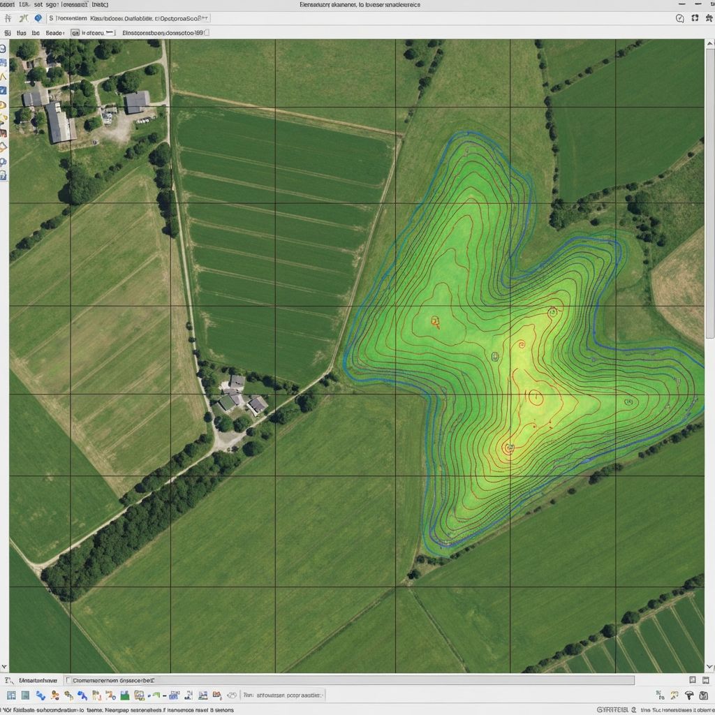
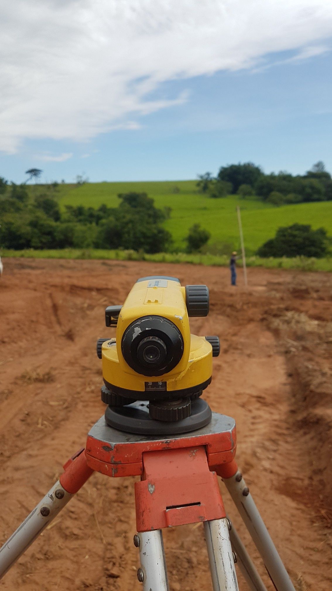
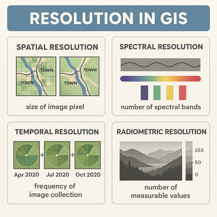
Geospatial Surveying & Mapping
Topographical surveys, boundary surveys, and comprehensive GIS mapping for accurate land documentation.
- Boundary & Property Mapping
- Topographical Mapping
- GNSS Coordinate Survey
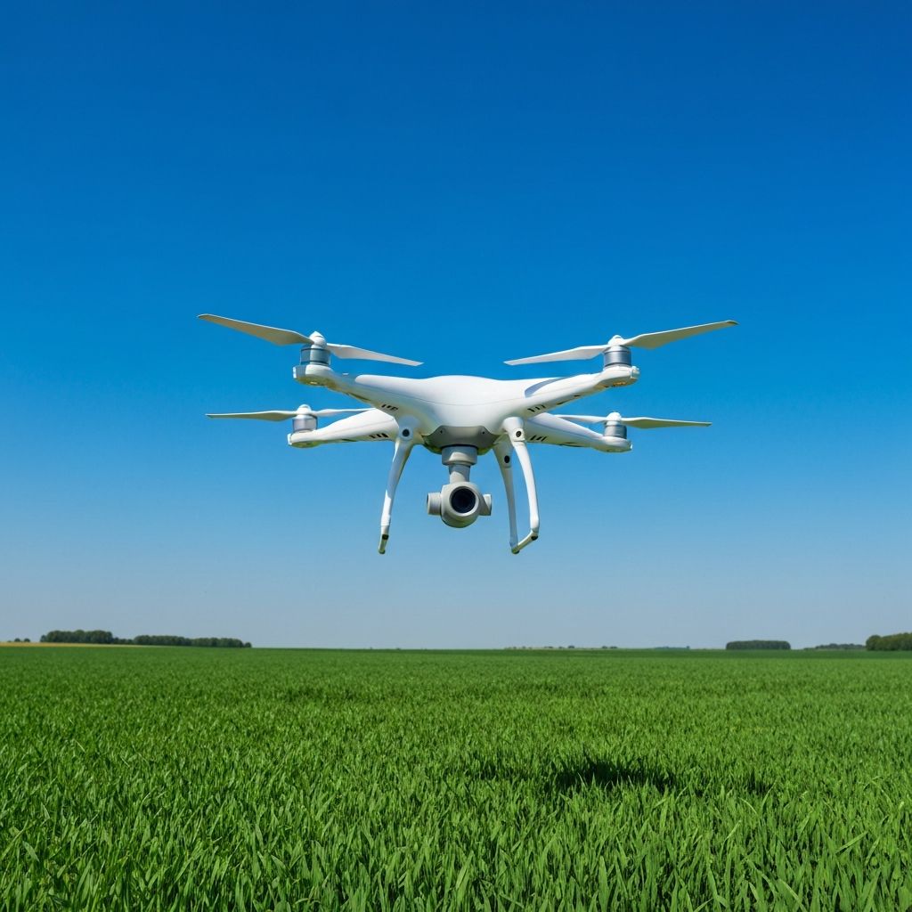
Drone & Aerial Intelligence
Advanced drone mapping, aerial imaging, and crop monitoring for precision agriculture insights.
- Drone Survey
- Orthophoto Mapping
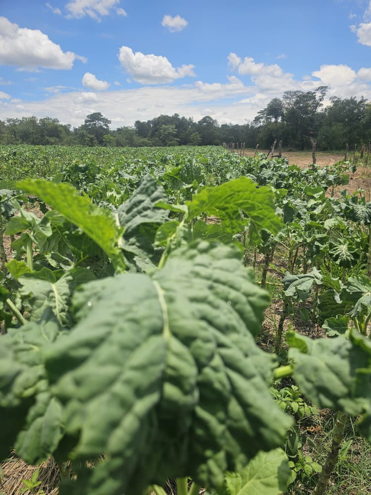
- Crop Monitoring
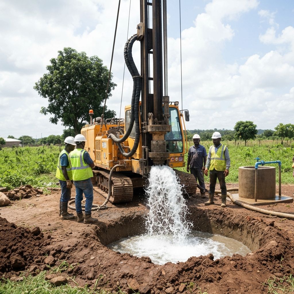
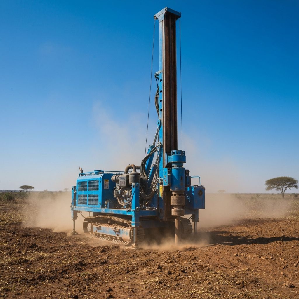
Borehole Drilling & Water Solutions
Professional borehole drilling, hydrogeological surveys, and water access infrastructure for communities and farms.
- Borehole Drilling
- Hydrogeological Surveys
- Water Quality Testing

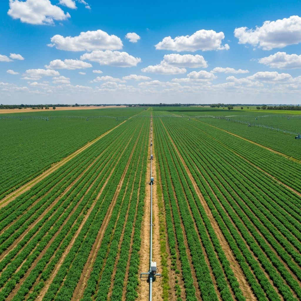
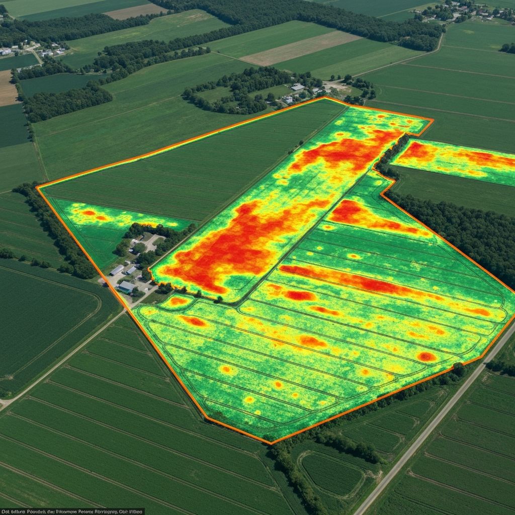
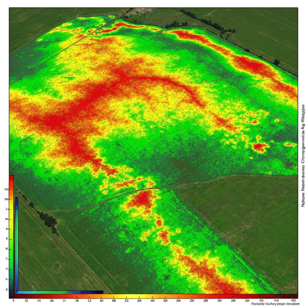
Smart Farming Systems
Precision agriculture solutions with NDVI crop analysis and automated monitoring systems.
- Precision Agriculture
- NDVI Crop Analysis
- Monitoring Systems

Environmental Assessment
Comprehensive environmental impact assessments, ecological surveys, and sustainability consulting.
- Environmental Impact Assessment
- Ecological Surveys
- Sustainability Reports
Construction Surveying
Precise construction layout, as-built surveys, and site monitoring for development projects.
- Construction Layout
- As-Built Surveys
- Volume Calculations
ICT & Digital Platforms
Land Information Systems, custom data platforms, and digital solutions for modern land management.
- Land Information Systems
- Data Platforms
- Custom Solutions
Land Use Planning
Comprehensive land analysis, planning consultancy, and feasibility studies for optimal development.
- Land Analysis
- Planning Consultancy
- Feasibility Studies
How It Works
Our streamlined process ensures accurate results and timely delivery for all your land mapping and planning needs.
Consultation
We discuss your project requirements, goals, and timeline to understand your unique needs.
Data Collection
Using GPS, drones, and GIS technology, we gather precise geospatial data from your land.
Analysis & Planning
Our experts analyze the data and create comprehensive plans, maps, and recommendations.
Delivery
We deliver detailed maps, reports, and actionable insights to help you make informed decisions.
Detailed Solutions for Your Needs
Deep-dive into our comprehensive solution offerings, methodology, outputs, and benefits for your specific requirements.
Farm Mapping & Area Calculations
Accurate capture of boundaries, subdivisions, infrastructure, and natural features for comprehensive farm documentation.
Methodology
- GPS ground surveys
- Drone aerial surveys
- GIS spatial analysis
- Geospatial data integration
Outputs
- Farm size (hectares/acres)
- Georeferenced maps
- Boundary maps
- Infrastructure layouts
Benefits
- Eliminates land disputes
- Accurate records for planning
- Strong foundation for development
Land Use Planning
Strategic terrain analysis and suitability assessment for optimal land utilization and sustainable development.
Methodology
- Terrain & slope analysis
- Suitability assessment
- GIS zoning
- Environmental analysis
Outputs
- Zoning maps
- Planning reports
- Optimized layouts
- Development guidelines
Benefits
- Increased productivity
- Reduced development risks
- Better informed decisions
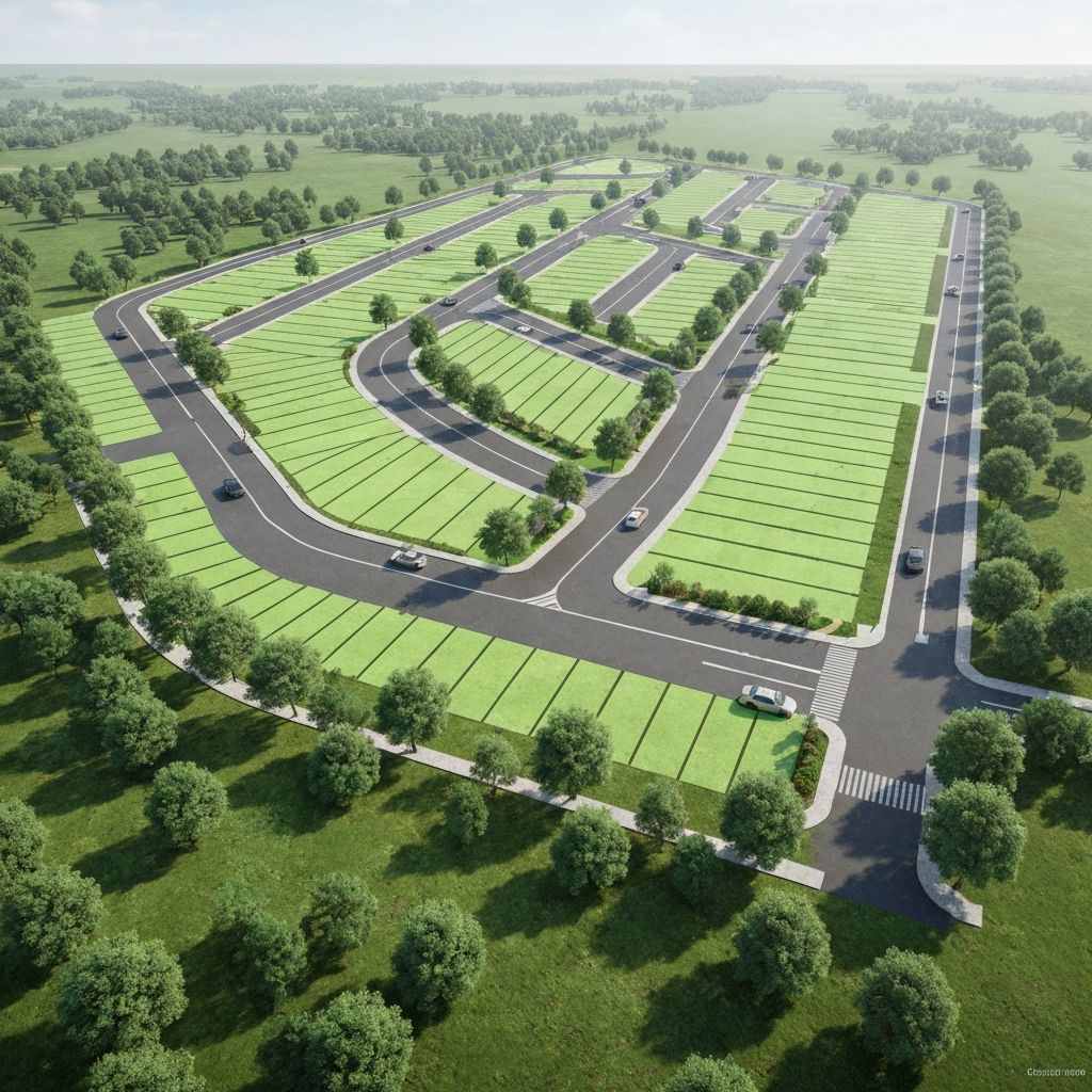
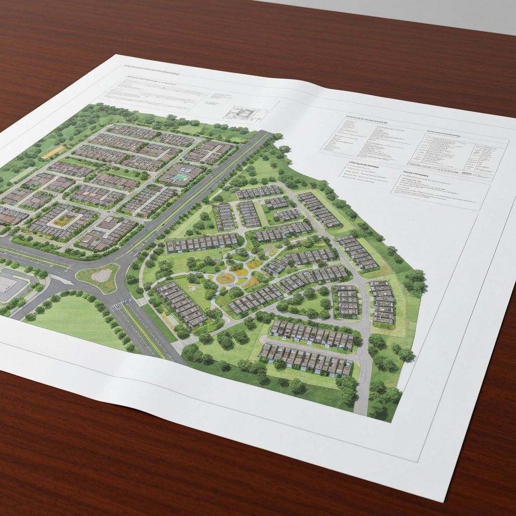
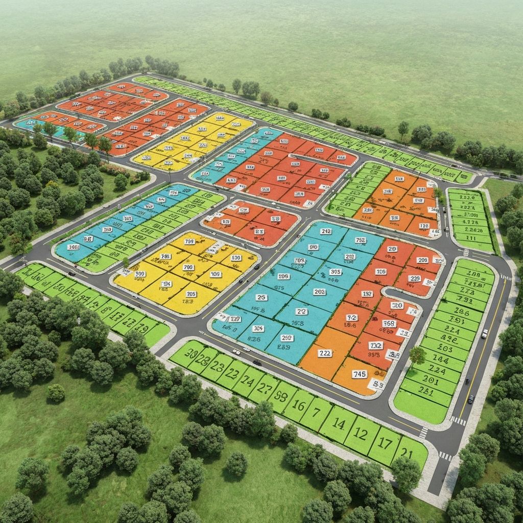
Residential & Commercial Layout
Professional GIS and CAD-based design for residential and commercial developments with full compliance standards.
Methodology
- GIS + CAD design
- Road & service planning
- Compliance standards
- Infrastructure integration
Outputs
- Layout plans
- Plot sizes & dimensions
- Infrastructure drawings
- Approval documentation
Benefits
- Increased land value
- Organized development
- Faster approval process
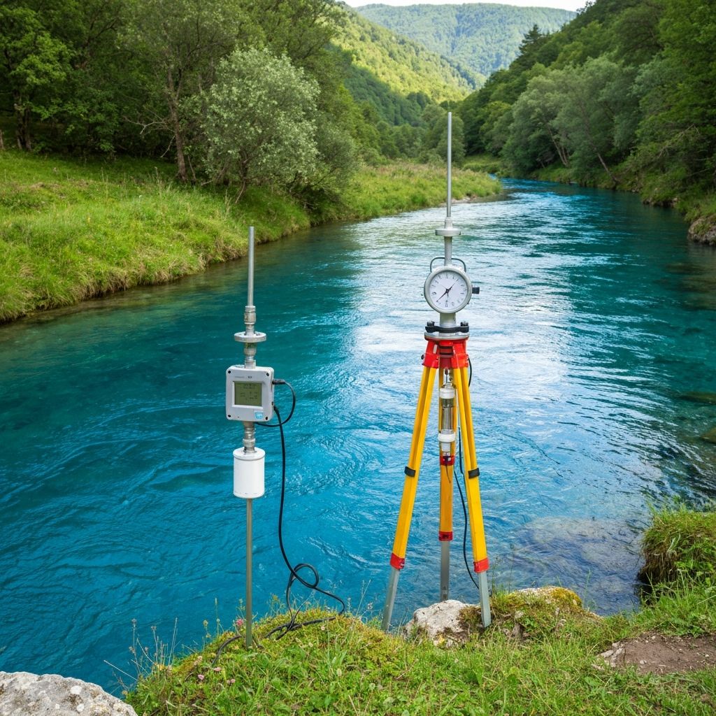
Water Survey
Comprehensive hydrogeological analysis and remote sensing for sustainable water resource management.
Methodology
- Hydrogeological analysis
- Remote sensing
- GIS mapping
- Groundwater assessment
Outputs
- Water maps
- Borehole recommendations
- Technical reports
- Resource assessments
Benefits
- Reduced drilling risk
- Water security planning
- Sustainable management
Featured Projects
Explore our portfolio of successful land mapping, planning, and agricultural technology projects.
Farm Mapping
Farm Boundary Mapping
View Details
Farm Boundary Mapping
Land Planning
Residential Layout Design
View Details
Residential Layout Design
Smart Farming
Crop Health Analysis
View Details
Crop Health Analysis
Drone Services
Drone Aerial Survey
View Details
Drone Aerial Survey
ICT Solutions
GIS Data Platform
View Details
GIS Data Platform
Water Survey
Water Resource Survey
View Details
Water Resource Survey
Our Work in Action
Explore our collection of project photos and videos showcasing our expertise in land mapping, surveying, and agricultural technology.
Professional Survey Team

The Office
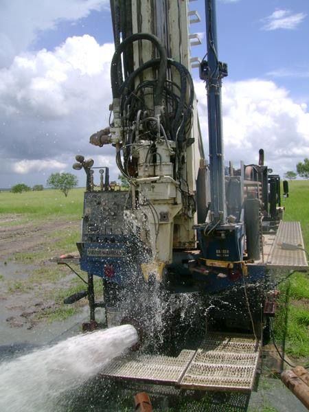
Borehole Project Completion
GIS Data Center
Farm Boundary Mapping
Land Subdivision Plan
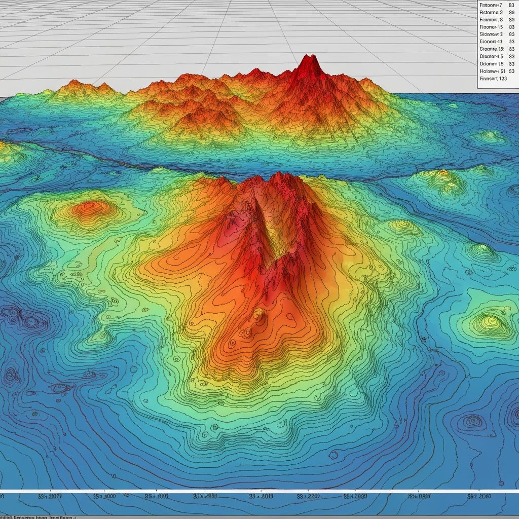
Topographic Survey
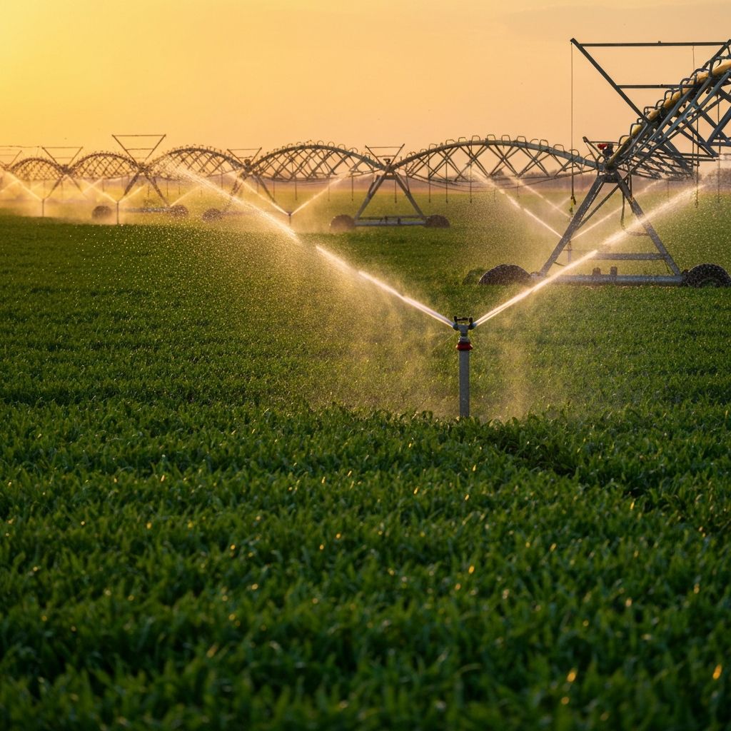
Smart Irrigation
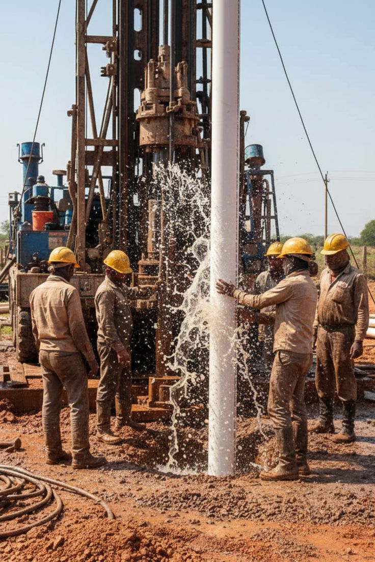
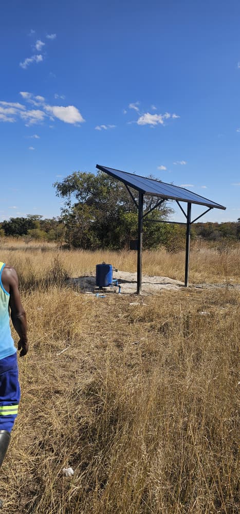
Borehole Site
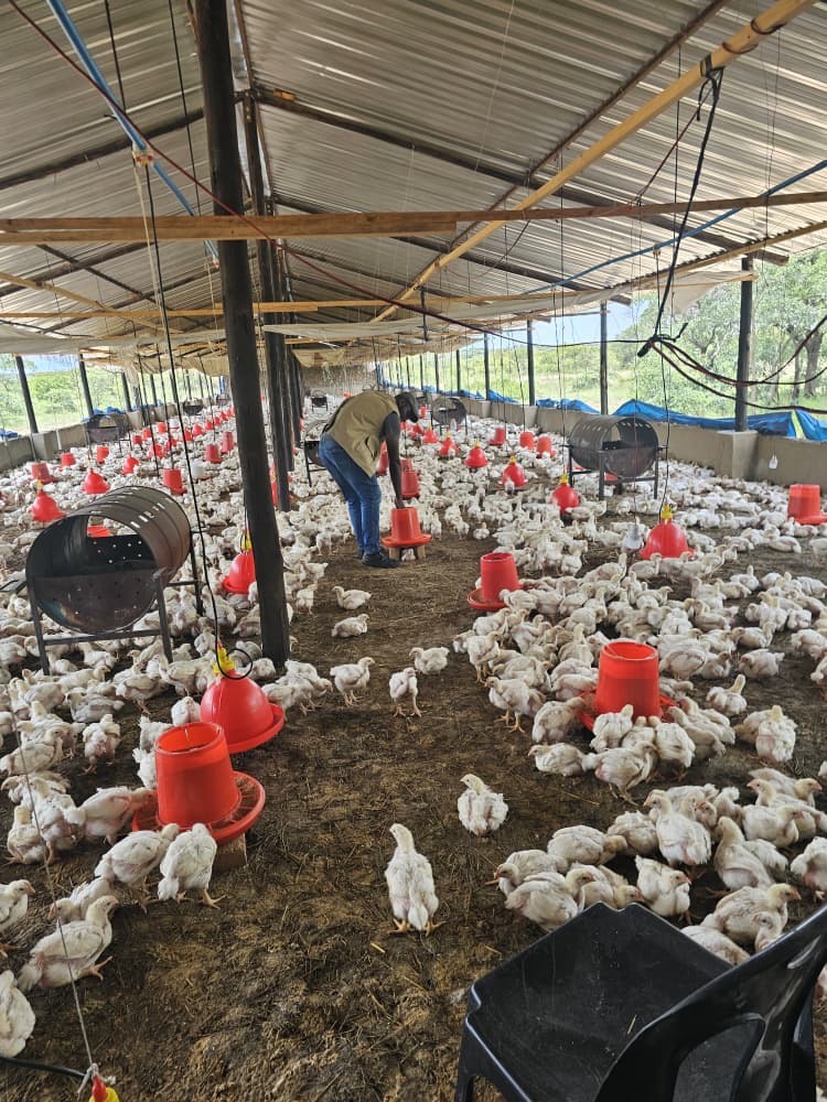
State of the art broiler production
Professional Survey Team
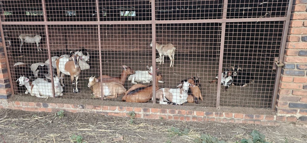
Goat farming
Borehole Survey
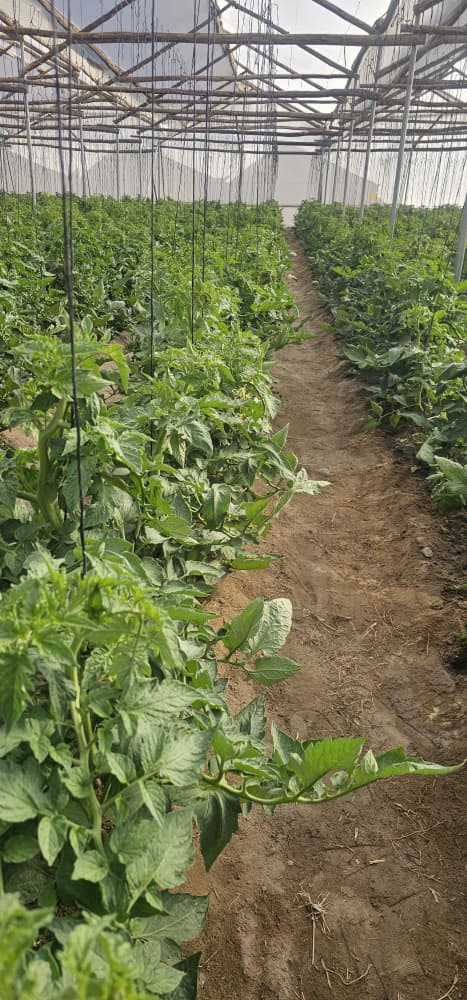
Green House Siting
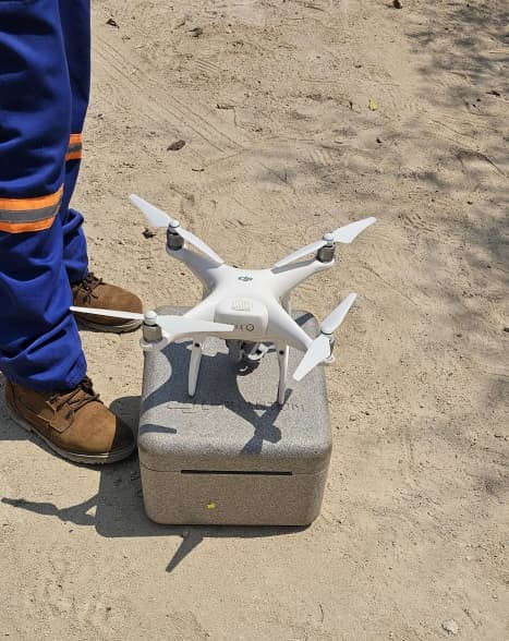
Drone
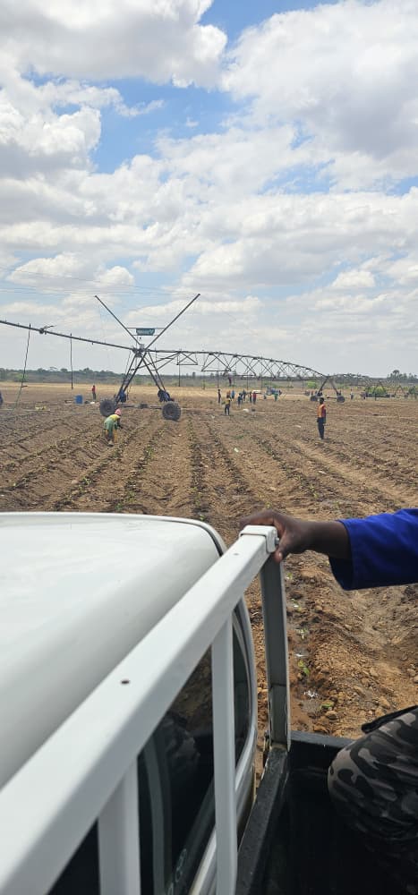
Irrigation
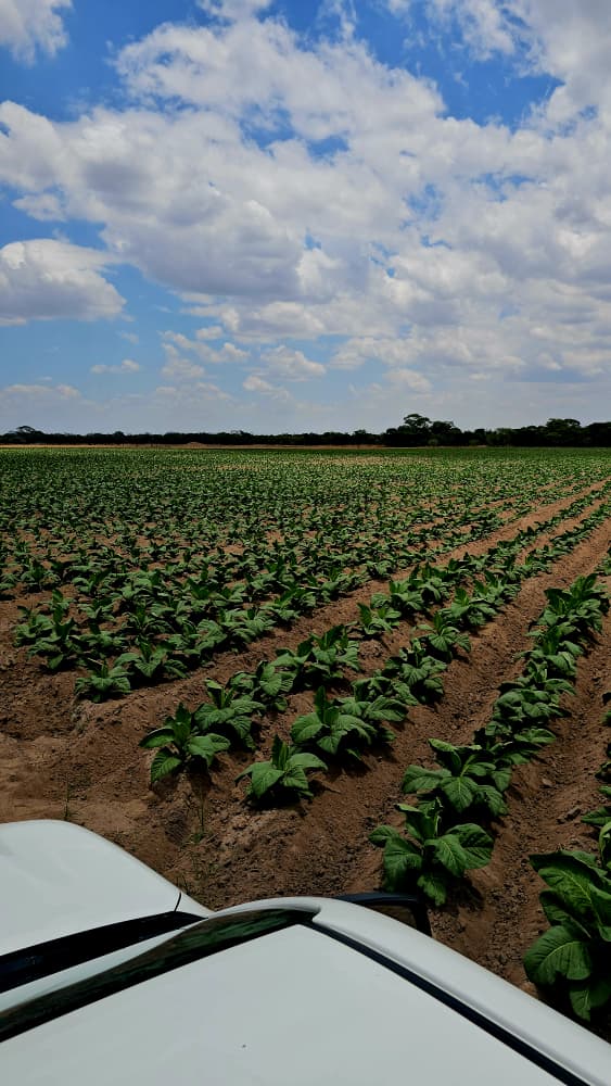
Tobacco Farming

Cattle
Trusted By Industry Leaders
We are proud to partner with leading organizations across government, agriculture, and private sectors

Transform Your Land With Precision Technology
Join hundreds of farmers, developers, and organizations who trust Marvel Industries for their land mapping and agricultural technology needs. Get started with a free consultation today.
Get In Touch
Start Your Project
Reach out via WhatsApp for fast response and consultation.
MARVEL INDUSTRIES
Engineering the Future